Search Results

832pages,49,875results in your"" Searchfor"landscape"- Refine your search withAdvanced Search
Current Lightbox
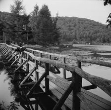
The view from the bridge at Camp Gaylord White and Ellen Marvin, Arden, New York, 1943. Creator: Gordon Parks
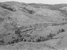
 
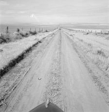
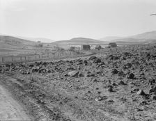
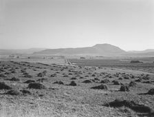
Western wheat country in a region which yields..., Umatilla County, Oregon, 1939. Creator: Dorothea Lange
 
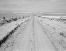
Western wheat country in a region which yields over twenty five..., Umatilla County, Oregon, 1939. Creator: Dorothea Lange
 
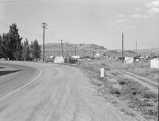
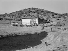
Squatter camp before season opens, Malin, Klamath County, Oregon, 1939. Creator: Dorothea Lange
 
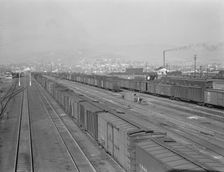
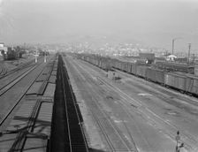
Railroad yard, outskirts of fast-growing town, Klamath Falls, Oregon, 1939. Creator: Dorothea Lange
 
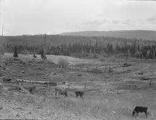
Part of eighty-acre farm showing cleared pasture land and uncleared piece,Bonner County,Idaho, 1939. Creator: Dorothea Lange
 
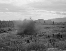
Tomarack stump is blasted, Bonner County, Idaho, 1939. Creator: Dorothea Lange
 
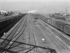
Railroad, outskirts of fast growing town, Klamath Falls, Oregon, 1939. Creator: Dorothea Lange
 
Railroad, outskirts of fast growing town, Klamath Falls, Oregon, 1939. Creator: Dorothea Lange
 
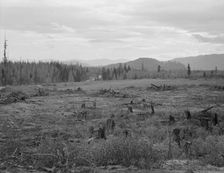
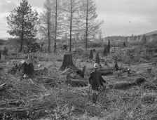
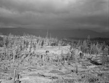
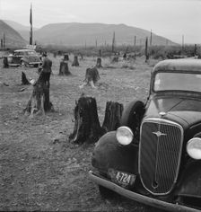
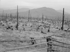
Shows character of cut-over area, Bonner County, Idaho, 1939. Creator: Dorothea Lange
 
Ex-Nebraska farmer and the piece of land which he hopes to clear..., Bonner County, Idaho, 1939. Creator: Dorothea Lange
 
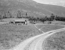
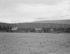
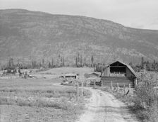
Log buildings and cleared land on FSA borrower's place, Boundary County, Idaho, 1939. Creator: Dorothea Lange
 
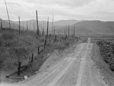
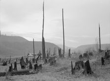
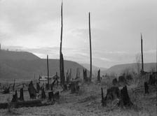
Cut-over landscape, approaching winter rain, showing..., Boundary County, Idaho, 1939. Creator: Dorothea Lange
 
Partially-developed stump ranch seen across cleared grain field, Boundary County, Idaho, 1939. Creator: Dorothea Lange
 
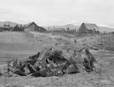
Stump pile, ready to burn, house, barn, and farm buildings, Unruf farm, Boundary County, Idaho, 1939 Creator: Dorothea Lange
 
Cut-over landscape, approaching winter rain, showing settler's..., Boundary County, Idaho, 1939. Creator: Dorothea Lange
 
Looking over the Unruf farm from the barn, Boundary County, Idaho, 1939. Creator: Dorothea Lange
 
Father's farm in foreground, son's place adjoining, Boundary County, Idaho, 1939. Creator: Dorothea Lange
 
Another stump farm, fenced, showing general characteristics of..., Bonner County, Idaho, 1939. Creator: Dorothea Lange
 
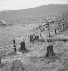
Fenced pasture on cut-over farm, Priest River Valley, Bonner County, Idaho, 1939. Creator: Dorothea Lange
 
Possibly: Fenced pasture on cut-over farm, Priest River Valley, Bonner County, Idaho, 1939. Creator: Dorothea Lange
 
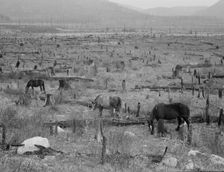
Horses pasturing among stumps and snags, Priest River Valley, Bonner County, Idaho, 1939. Creator: Dorothea Lange
 
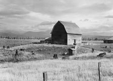
Type barn, characteristic of Idaho, on farm of older settler, Boundary County, Idaho, 1939. Creator: Dorothea Lange
 
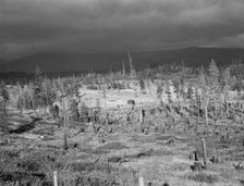
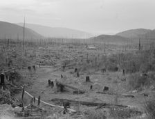
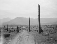
Landscape: stumps, sags, and stump farm in Priest River Valley, Bonner County, Idaho, 1939. Creator: Dorothea Lange
 
Possibly: Stumps and sags on uncleared land, Priest River country, Bonner County, Idaho, 1939. Creator: Dorothea Lange
 
View of the Halley farm. Priest River Peninsula. Bonner County, Idaho, 1939. Creator: Dorothea Lange
 
Possibly: View of the Halley farm. Priest River Peninsula, Bonner County, Idaho, 1939. Creator: Dorothea Lange
 
Road up the valley toward Ola self-help sawmill co-op, Gem County, Idaho, 1939. Creator: Dorothea Lange
 
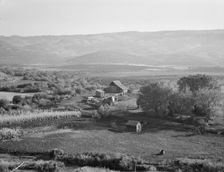
Carlock farmstead, Ola self-hHelp sawmill co-op, Gem County, Idaho, 1939. Creator: Dorothea Lange
 
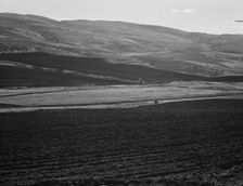
Newly-plowed fields on land...member of Ola self-help sawmill co-op, Gem County, Idaho, 1939. Creator: Dorothea Lange
 
Squaw Valley farm, Gem County, Idaho, 1939. Creator: Dorothea Lange
 
Squaw Valley farm, 640 acres, with sixty in tillable land..., Gem County, Idaho, 1939. Creator: Dorothea Lange
 
Road going up Squaw Creek Valley, leaving Ola, Ola self-help sawmill co-op, Gem County, Idaho, 1939. Creator: Dorothea Lange
 
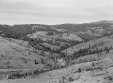
Upper end of Squaw Creek Valley..., Ola self-help sawmill co-op, Gem County, Idaho, 1939. Creator: Dorothea Lange
 
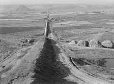
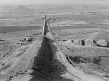
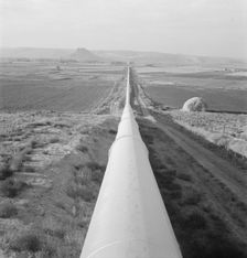
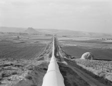
The longest siphon in the world crosses the Malheur Valley, Malheur County, Oregon, 1939. Creator: Dorothea Lange
 
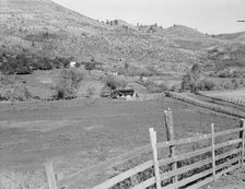
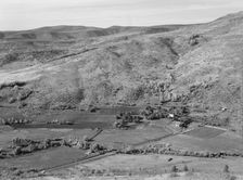
View of small valley, dry farming, Gem County, Idaho, 1939. Creator: Dorothea Lange
 
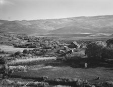
The Carlock farmstead, Gem County, Idaho, 1939. Creator: Dorothea Lange
 
Upper end of Squaw Creek Valley..., Ola self-help sawmill co-op, Gem County, Idaho, 1939. Creator: Dorothea Lange
 
Possibly: Upper end of Squaw Creek Valley..., Ola self-help sawmill co-op, Gem County, Idaho, 1939. Creator: Dorothea Lange
 
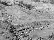
Possibly: Looking down on Ola self-help co-op mill showing the upper end..., Gem County, Idaho, 1939 Creator: Dorothea Lange
 
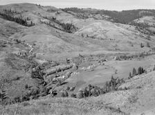
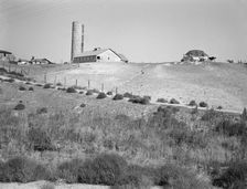
Looking down on Ola self-help co-op mill showing the upper end of Squaw..., Gem County, Idaho, 1939. Creator: Dorothea Lange
 
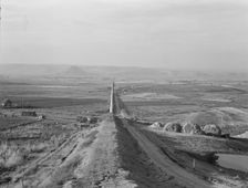
Siphon - the world's longest - which carries water 5 miles to Dead Ox Flat, Oregon, 1939. Creator: Dorothea Lange
 
Sage bush, hay field, farmstead, cattle in pasture, Nyssa Heights, Malheur County, Oregon, 1939. Creator: Dorothea Lange
 
Hay and clover, pasture land, corn land, grain land, Sunset Valley, Malheur County, Oregon, 1939. Creator: Dorothea Lange
 
Western Idaho dairy farm, 1939. Creator: Dorothea Lange
 
On bench land of the Owyhee project, Nyssa Heights, Malheur County, Oregon, 1939. Creator: Dorothea Lange
 
View of Sunset Valley, showing hay and clover..., Malheur County, Oregon, 1939. Creator: Dorothea Lange
 
The cream truck coming down the road..., Nyssa Heights, Malheur County, Oregon, 1939. Creator: Dorothea Lange
 
Siphon - the world's longest - which carries water 5 miles to Dead Ox Flat, Oregon, 1939. Creator: Dorothea Lange
 
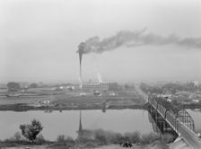
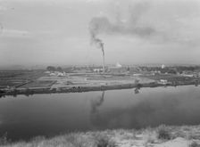
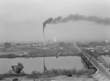
Sugar beet factory (Amalgamated Sugar Company) along..., Nyssa, Malheur County, Oregon, 1939. Creator: Dorothea Lange
 
Sugar beet factory (Amalgamated Sugar Company) along..., Nyssa, Malheur County, Oregon, 1939. Creator: Dorothea Lange
 
Sugar beet factory (Amalgamated Sugar Company) along..., Nyssa, Malheur County, Oregon, 1939. Creator: Dorothea Lange
 
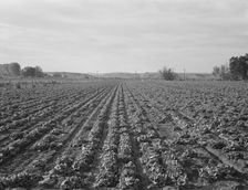
Lettuce field near Ontario, Malheur County, Oregon, 1939. Creator: Dorothea Lange
 
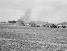
Threshing red clover for seed on older settler's ranch, near Ontario, Oregon, 1939. Creator: Dorothea Lange
 
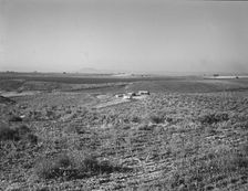
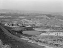
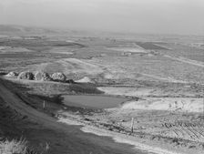
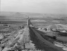
Looking across the Malheur Valley from Lincoln Bench, Malheur County, Oregon, 1939. Creator: Dorothea Lange
 
Siphon - the world's longest - which carries water 5 miles to Dead Ox Flat, Oregon, 1939. Creator: Dorothea Lange
 
Looking across the Malheur Valley from Lincoln Bench, Malheur County, Oregon, 1939. Creator: Dorothea Lange
 
Siphon - the world's longest - which carries water 5 miles to Dead Ox Flat, Oregon, 1939. Creator: Dorothea Lange
 
Siphon - the world's longest - which carries water 5 miles to Dead Ox Flat, Oregon, 1939. Creator: Dorothea Lange
 
New farm in Cow Hollow, Malheur County, Oregon, 1939. Creator: Dorothea Lange