Search Results

740pages,44,385results in your"" Searchfor"Landscapes"- Refine your search withAdvanced Search
Current Lightbox
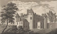
Nash Court in Boughton, in the County of Kent, from Edward Hasted's, The History and To..., 1777-90. Creator: Anon
 
Antiquities Dug up at Different Times in Crock-field near Newington, from Edward Hasted..., 1777-90. Creator: Anon
 
Sutton Place, near Dartford, in the County of Kent, taken in the year 1766, before the ..., 1777-90. Creator: Anon
 
West Wickham Court in the County of Kent, from Edward Hasted's, The History and Topogra..., 1777-90. Creator: Anon
 
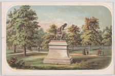
Central Park, Statue of the Indian Hunter, 1869., 1869. Creator: Anon
 
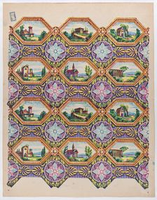
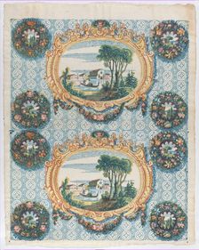
Sheet with pattern of brightly colored landscapes in hexagonal frame..., late 18th-mid-19th century. Creator: Anon
 
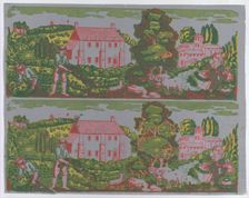
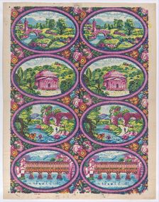
Sheet with two borders with pastoral landscapes on a gray background..., late 18th-mid-19th century. Creator: Anon
 
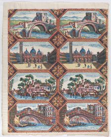
Sheet with two borders with Venetian landscapes, late 18th-mid-19th ..., late 18th-mid-19th century. Creator: Anon
 
Sheet with two borders with Italian landscapes, late 18th-mid-19th c..., late 18th-mid-19th century. Creator: Anon
 
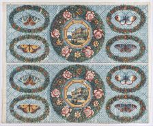
Sheet with two borders with landscapes and moths within wreaths, lat..., late 18th-mid-19th century. Creator: Anon
 
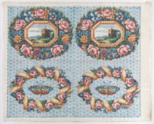
Sheet with two borders with a landscape and moth within wreaths, lat..., late 18th-mid-19th century. Creator: Anon
 
Sheet with two borders with landscapes within frames and wreaths, la..., late 18th-mid-19th century. Creator: Anon
 
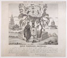
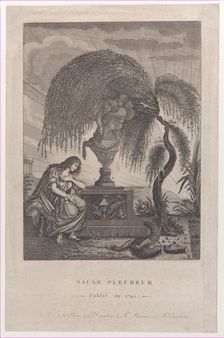
Saule Pleureur Imperiale with hidden silhouettes of Napoleon and his family, 1830-50., 1830-50. Creator: Anon
 
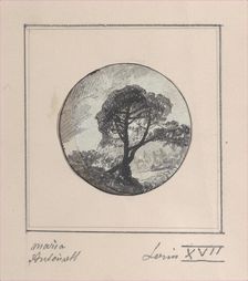
Landscape with hidden silhouettes of Marie Antoinette and the Dauphin, 1794-1815., 1794-1815. Creator: Anon
 
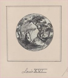
Landscape with a hidden silhouette of Louis XVI, 1794-1815., 1794-1815. Creator: Anon
 
The Weeping Willow with hidden silhouettes of the Royal family, 1795., 1795. Creator: Anon
 
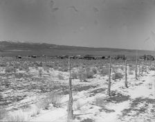
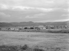
Approach to the town, Widtsoe, Utah, 1936. Creator: Dorothea Lange
 
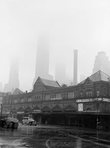
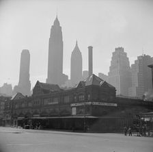
Foggy morning at Fulton fish market, New York City, 1943. Creator: Gordon Parks
 
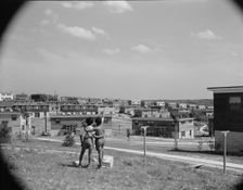
Boys overlooking the project, Frederick Douglass housing project, Anacostia, D.C., 1942. Creator: Gordon Parks
 
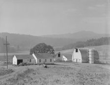
Unit no. 32 of Yamhill farms, Oregon, 1939. Creator: Dorothea Lange
 
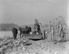
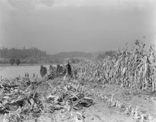
Cutting the corn on the Miller farm near West Carlton, Yamhill County, Oregon, 1939. Creator: Dorothea Lange
 
Cutting the corn on the Miller farm near West Carlton, Yamhill County, Oregon, 1939. Creator: Dorothea Lange
 
Wide view of the first mobile camp unit (FSA), situated in the Klamath Basin, Oregon, 1939. Creator: Dorothea Lange
 
Shows character of land which new settlers are buying in the Priest River Valley, Idaho, 1939. Creator: Dorothea Lange
 
Entering Cow Hollow region in which practically all are FSA borrowers, Malheur County, Oregon, 1939. Creator: Dorothea Lange
 
Landscape showing home of FSA borrower..., Nyssa Heights, Malheur County, Oregon, 1939. Creator: Dorothea Lange
 
Sugar beet factory (Amalgamated Sugar Company) along..., Nyssa, Malheur County, Oregon, 1939. Creator: Dorothea Lange
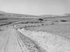
 
Sugar beet factory (Amalgamated Sugar Company) along..., Nyssa, Malheur County, Oregon, 1939. Creator: Dorothea Lange
 
View of newly reclaimed bench land, Dead Ox Flat, Malheur County, Oregon, 1939. Creator: Dorothea Lange
 
Sugar beet factory (Amalgamated Sugar Company) along..., Nyssa, Malheur County, Oregon, 1939. Creator: Dorothea Lange
 
Landscape showing raw land, Nyssa Heights, Malheur County, Oregon, 1939. Creator: Dorothea Lange
 
Landscape showing home of FSA borrower..., Nyssa Heights, Malheur County, Oregon, 1939. Creator: Dorothea Lange
 
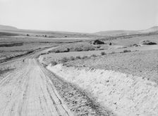
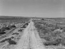
Section of lone road approaching the Schroeder place, Dead Ox Flat, Malheur County, Oregon, 1939. Creator: Dorothea Lange
 
Entering Cow Hollow region...all are FSA borrowers, Malheur County, Oregon, 1939. Creator: Dorothea Lange
 
Sugar beet factory (Amalgamated Sugar Company) along..., Nyssa, Malheur County, Oregon, 1939. Creator: Dorothea Lange
 
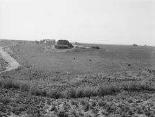
Desert stock farm, south central Washington, in region where much land has been overgrazed, 1939. Creator: Dorothea Lange
 
Possibly: Desert stock farm, south central Washington, in region...land has been overgrazed, 1939. Creator: Dorothea Lange
 
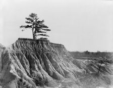
Erosion near Jackson, Mississippi, 1936. Creator: Walker Evans
 
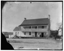
Murray's Hotel, Bryantown, Md., between 1890 and 1910. Creator: Unknown
 
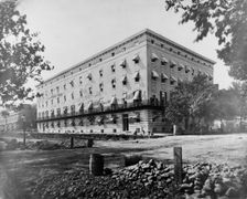
Old Winder Building, 17th St., N.W., below Pa. Ave., Washington, D.C., between 1860 and 1880. Creator: Unknown
 
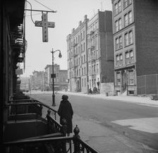
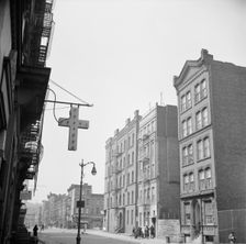
A Harlem street scene, New York, 1943. Creator: Gordon Parks
 
Late evening on the lower East Side, New York, 1943. Creator: Gordon Parks
 
Fulton fish market. New York City, New York, New York, 1943. Creator: Gordon Parks
 
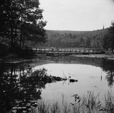
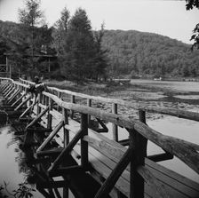
Bridge and background scenery, Camp Gaylord White, Arden, New York, 1943. Creator: Gordon Parks
 
The view from the bridge at Camp Gaylord White and Ellen Marvin, Arden, New York, 1943. Creator: Gordon Parks
 
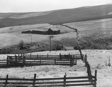
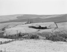
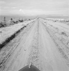
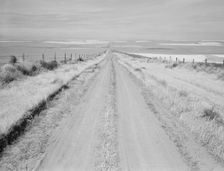
Western wheat country in a region which yields..., Umatilla County, Oregon, 1939. Creator: Dorothea Lange
 
Western wheat country in a region which yields over twenty five..., Umatilla County, Oregon, 1939. Creator: Dorothea Lange
 
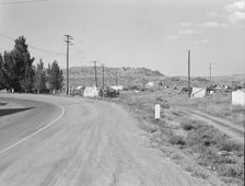
Squatter camp before season opens, Malin, Klamath County, Oregon, 1939. Creator: Dorothea Lange
 
Railroad yard, outskirts of fast-growing town, Klamath Falls, Oregon, 1939. Creator: Dorothea Lange
 
Railroad, outskirts of fast growing town, Klamath Falls, Oregon, 1939. Creator: Dorothea Lange
 
Railroad, outskirts of fast growing town, Klamath Falls, Oregon, 1939. Creator: Dorothea Lange
 
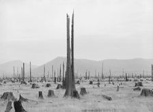
Another stump farm, fenced, showing general characteristics of..., Bonner County, Idaho, 1939. Creator: Dorothea Lange
 
Horses pasturing among stumps and snags, Priest River Valley, Bonner County, Idaho, 1939. Creator: Dorothea Lange
 
The longest siphon in the world crosses the Malheur Valley, Malheur County, Oregon, 1939. Creator: Dorothea Lange
 
Siphon - the world's longest - which carries water 5 miles to Dead Ox Flat, Oregon, 1939. Creator: Dorothea Lange
 
Sage bush, hay field, farmstead, cattle in pasture, Nyssa Heights, Malheur County, Oregon, 1939. Creator: Dorothea Lange
 
Hay and clover, pasture land, corn land, grain land, Sunset Valley, Malheur County, Oregon, 1939. Creator: Dorothea Lange
 
On bench land of the Owyhee project, Nyssa Heights, Malheur County, Oregon, 1939. Creator: Dorothea Lange
 
View of Sunset Valley, showing hay and clover..., Malheur County, Oregon, 1939. Creator: Dorothea Lange
 
The cream truck coming down the road..., Nyssa Heights, Malheur County, Oregon, 1939. Creator: Dorothea Lange