{{ alert.message }}
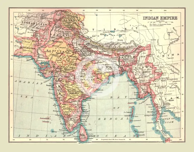
Map of the Indian Empire, 1902. Creator: Unknown.
2-697-328 - The Print Collector/Heritage Images
Map of the Indian Empire, 1902. Showing the Indian subcontinent during the period of the British Raj (rule by the British Crown). From The Century Atlas of the World. [John Walker & Co, Ltd., London, 1902]
Image Details
People Information
Creator
- Unknown, attributed to: :
People Related
- Edinburgh Geographical Institute: Scottish, British: Geographical Institute
Geographic Hierarchy
World Asia Pakistan Balochistān
- 28 28 43 N , 065 38 37 E
- 20 00 00 N , 077 00 00 E
- 10 00 00 S , 070 00 00 E
Digital Image Size
Pixel Dimensions (W x H) : 4600x3610
File Size : 48,651kb
Aliases
- 2B
- 0580054162
- 2-697-328
- 2697328