{{ alert.message }}
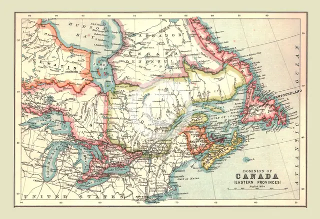
Map of the Dominion of Canada, Eastern Provinces, 1902. Creator: Unknown.
2-697-184 - The Print Collector/Heritage Images
Map of the Dominion of Canada, Eastern Provinces, 1902. Showing Newfoundland, Nova Scotia, the Gulf of St Lawrence and the Great Lakes. From The Century Atlas of the World. [John Walker & Co, Ltd., London, 1902]
Image Details
People Information
Creator
- Unknown, attributed to: :
People Related
- Edinburgh Geographical Institute: Scottish, British: Geographical Institute
Digital Image Size
Pixel Dimensions (W x H) : 4900x3365
File Size : 48,307kb
Aliases
- 2B
- 0580054176
- 2-697-184
- 2697184