{{ alert.message }}
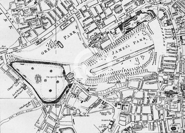
Map of St James' Park and Green Park in 1800, c1833 (1911). Artist: William Schmollinger.
2-634-543 - The Print Collector/Heritage Images
Map of St James' Park and Green Park in 1800, c1833 (1911). From London - North of the Thames, by Sir Walter Besant. [Adam & Charles Black, London, 1911]
Image Details
People Information
Creator
- William Schmollinger, attributed to: : Artist, printmaker
People Related
- Sir Walter Besant: British: writer, author, novelist and philanthropist
Geographic Hierarchy
World Europe United Kingdom England Greater London London City of Westminster Westminster
- 51 29 09 N , 000 08 01 W
Digital Image Size
Pixel Dimensions (W x H) : 7121x5112
File Size : 35,550kb
Aliases
- 0580036958
- 2-634-543
- 2634543