{{ alert.message }}
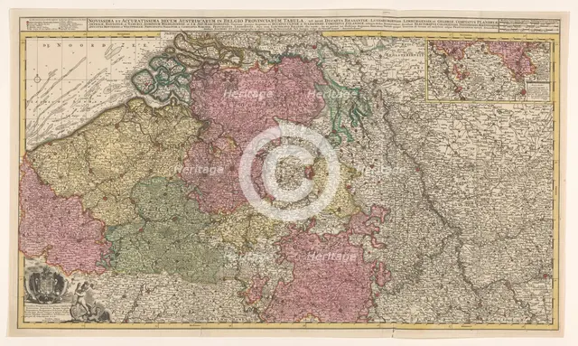
Map of the southern (Austrian) Netherlands, 1719. Creator: Joachim Ottens.
2-985-530 - Heritage Art/Heritage Images
Map of the southern (Austrian) Netherlands, 1719. 'Novissima et accuratissima decem Austriacarum in Belgio provinciarum tabula, ut sunt ducatus Brabantiae, Luxembergensis, Limburgensis, et Geldriae, comitatus Flandriae'. Inset top right: part of the Duchy of Luxembourg; scale in German, Spanish and English-French miles. Bottom left: dedication to Emperor Charles VI with his coat of arms and a putto fighting a harpy.
Image Details
Geographic Hierarchy
- 52 30 00 N , 005 45 00 E
- 50 50 00 N , 004 00 00 E
- 51 00 00 N , 004 30 00 E
- 49 45 00 N , 006 10 00 E
- ,
World Europe Belgium Flanders Limburg
- 51 00 00 N , 005 30 00 E
Digital Image Size
Pixel Dimensions (W x H) : 7716x4620
File Size : 104,438kb
Aliases
- NG-501-23
- GT
- 1060007125
- 2-985-530
- 2985530
- NG-501-23