{{ alert.message }}
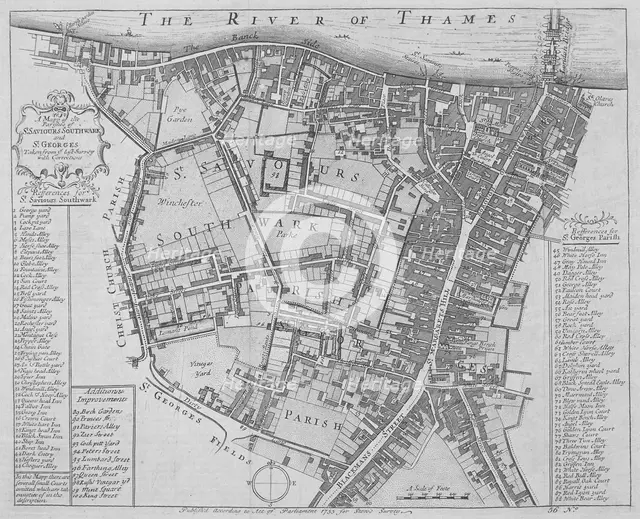
Map of the Parishes of St George's and St Saviour's, Southwark, London, 1755. Artist: Anon
1-619-755 - The London Archives (City of London)/Heritage Images
Map of the Parishes of St George's and St Saviour's, Southwark, London, 1755. With keys to the buildings and streets.
Image Details
Geographic Hierarchy
World Europe United Kingdom England Greater London London Southwark Southwark
- 51 30 00 N , 000 05 00 W
Digital Image Size
Pixel Dimensions (W x H) : 2786x2261
File Size : 18,455kb
Aliases
- 30370
- k126706x
- 0220004391
- 1-619-755
- 1619755
- 30370